

On the westernmost tip of the Canary Islands, El Hierro is proving that another way of travelling, eating, and living is possible. Long before sustainability became a marketing word, this island had already built its own version of it: powered by wind and water, fed by what grows close to home, and protected by a marine reserve few divers ever get to see.
From a hydro-wind plant that can run the island on clean energy for weeks at a time, to a chef who refuses to call his produce “zero-kilometre” because here it simply is local, El Hierro’s identity is not performed for visitors. It is lived daily, on the smallest scale imaginable.
An island that powers itself
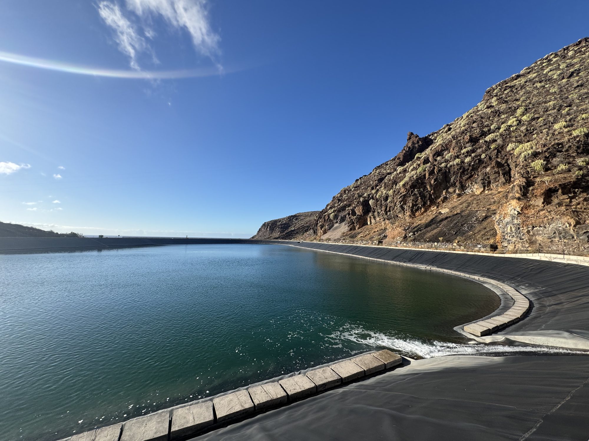
The upper reservoir of Gorona del Viento, carved into El Hierro’s volcanic hillside, is the other half of the island’s energy story. Wind turbines pump water up here when the trade winds blow hardest; gravity sends it back down through turbines when they don’t. Gorona del Viento has run El Hierro on up to 100% renewable energy for stretches of up to 25 consecutive days. As Joanna Rudnik, an official tour guide, explains, on El Hierro this is not a promise for the future: it has already happened, for weeks at a time.
A landscape still cooling
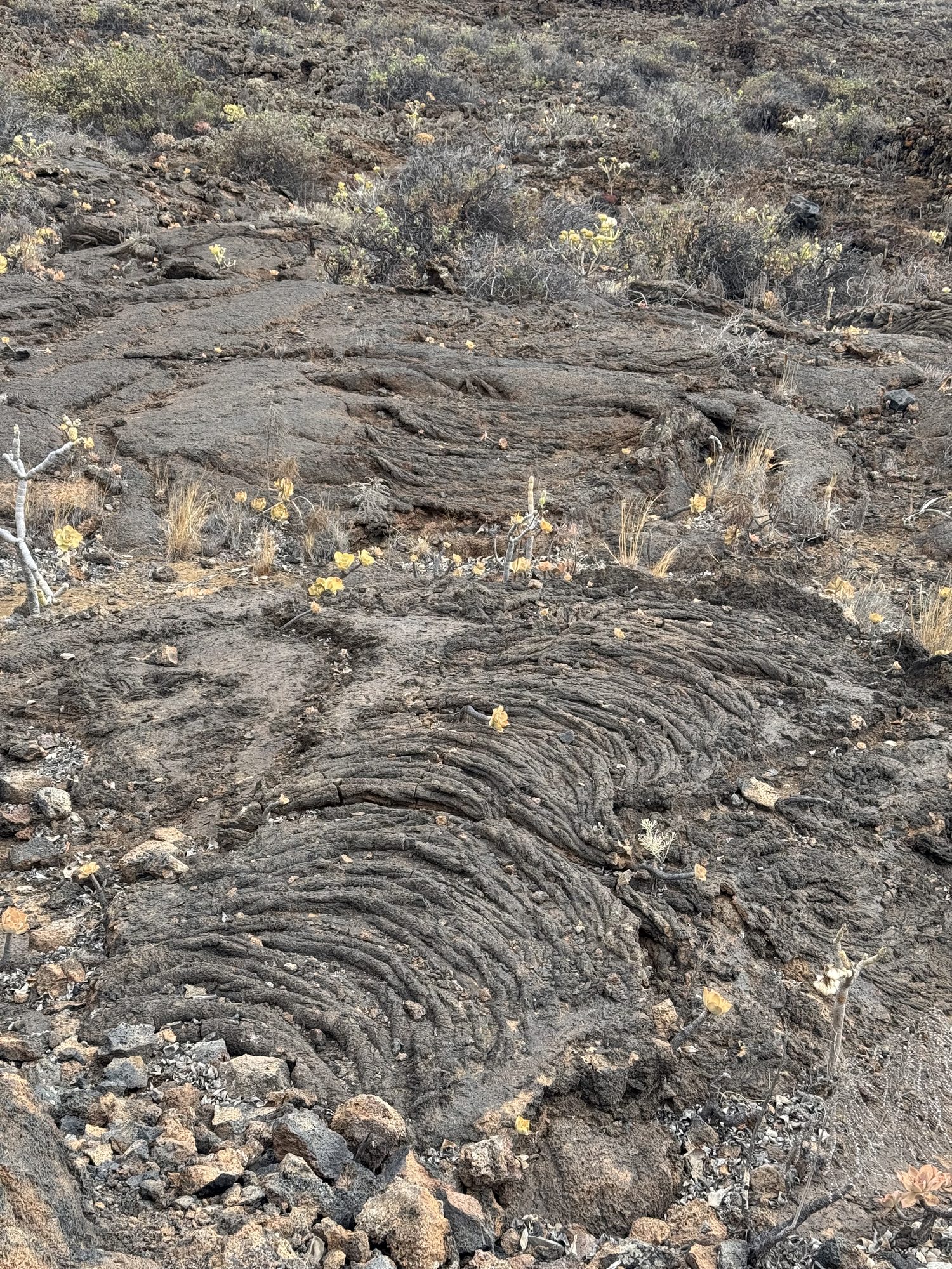
El Hierro is the youngest and smallest of the Canary Islands, built up by eruptions as recent as 2011, when an underwater vent off La Restinga briefly turned the sea to steam. Its malpaís, fields of hardened lava like this one, still outnumber its farmland. UNESCO has designated the whole island a Global Geopark, less a monument to a finished landscape than to one that is, geologically speaking, barely done forming.
Energy made from wind and water
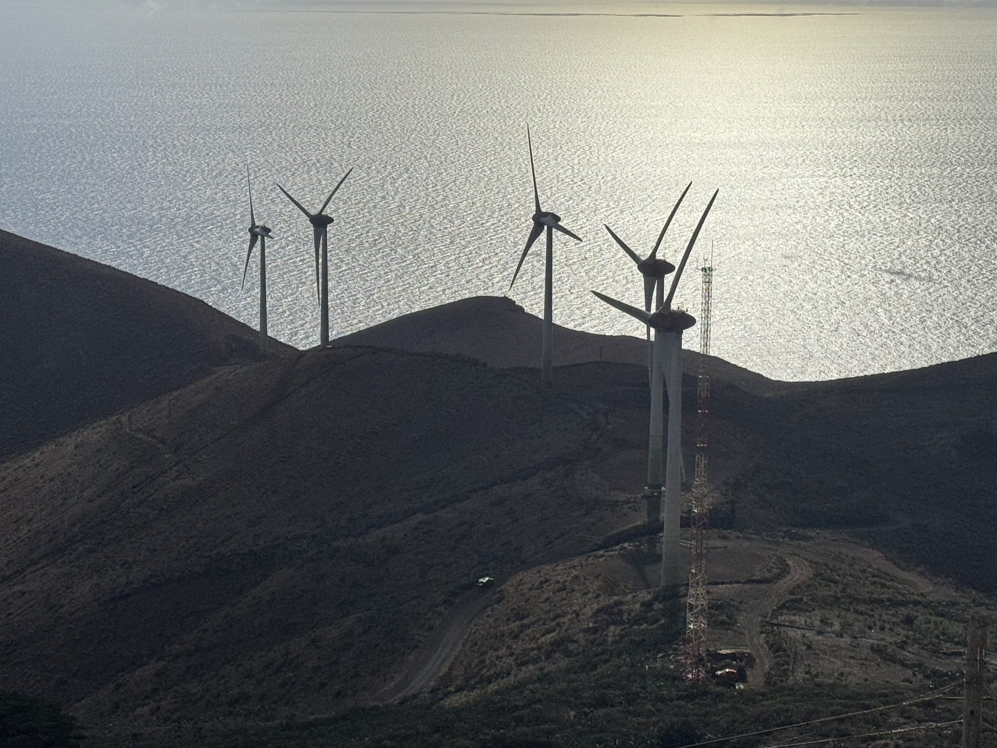
Gorona del Viento’s turbines stand where the island’s volcanic slopes meet the trade winds and the open Atlantic. Water is pumped uphill when the wind blows hardest, then released downhill to generate power when it doesn’t, a closed loop that lets El Hierro’s roughly 11,000 residents cover 50 to 60% of their annual electricity from wind and water alone. It is regeneration not as a slogan, but as infrastructure.
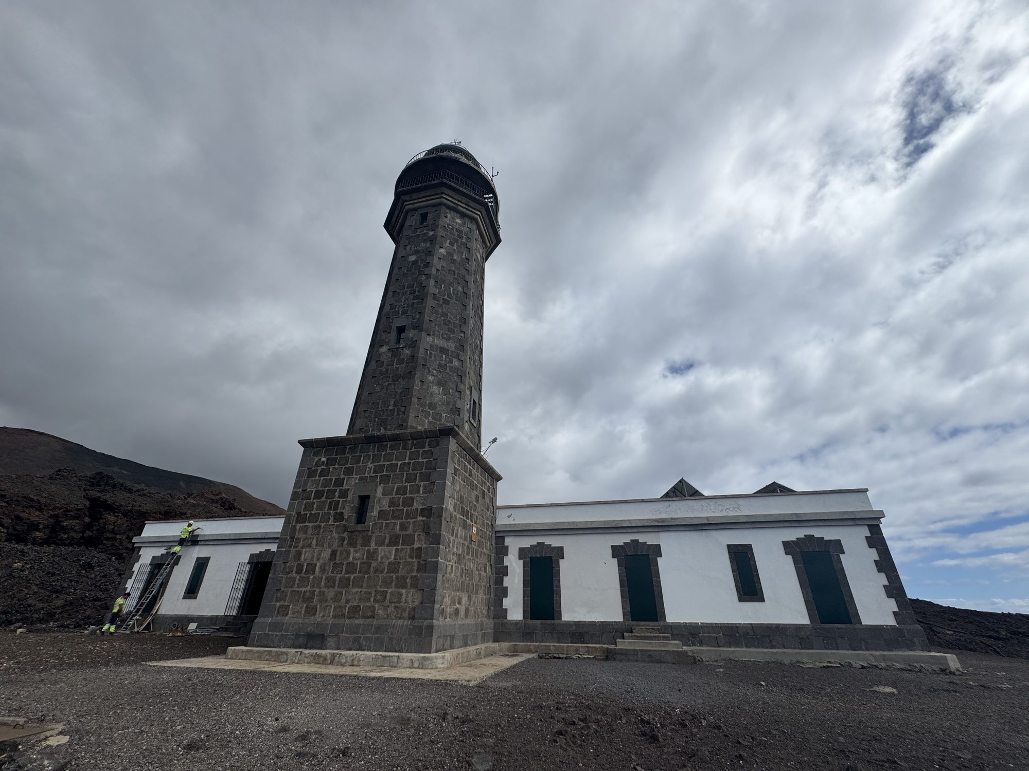
At the edge of the world
The Faro de Orchilla marks Punta de Orchilla, the westernmost point of El Hierro and, for centuries, of the known world. In the 2nd century, Ptolemy placed his prime meridian at the western limit of the known world, the Fortunate Isles. El Hierro itself became the reference later: France formalised the meridian through the island in 1634, and it remained in use until Greenwich was adopted as the international standard in 1884. Few places wear the edge of the map so literally.
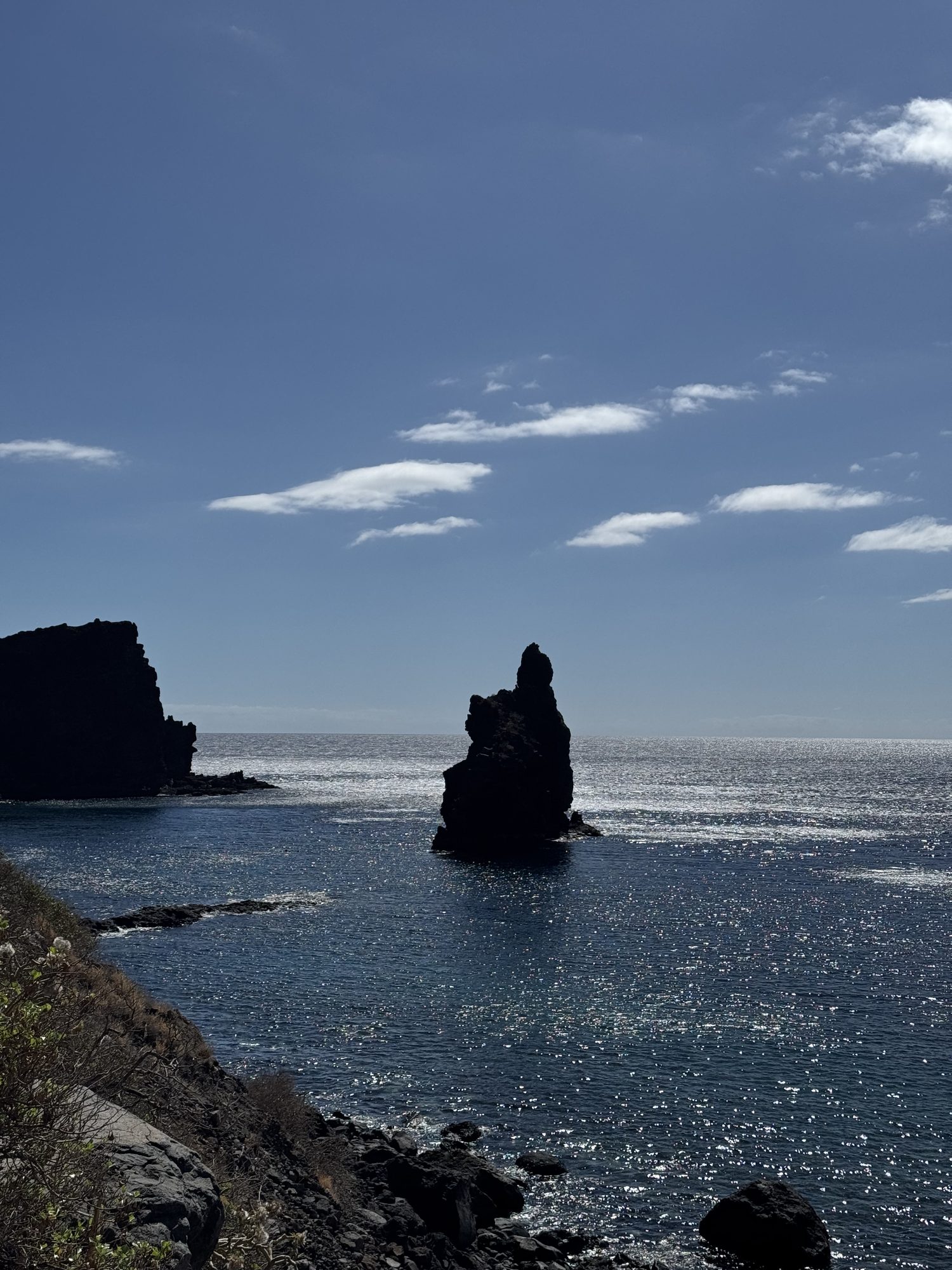
Sea stacks guard the coast
The jagged Roques de Salmor rise from the sea off El Hierro’s north coast. For most of the twentieth century they were believed to hold the last of the Gallotia simonyi, the island’s giant lizard, presumed extinct until a handful were rediscovered clinging to these cliffs in 1974. Now bred and released through the Ecomuseo de Guinea, it has become an emblem of the island itself: small, isolated, nearly lost, and still here.
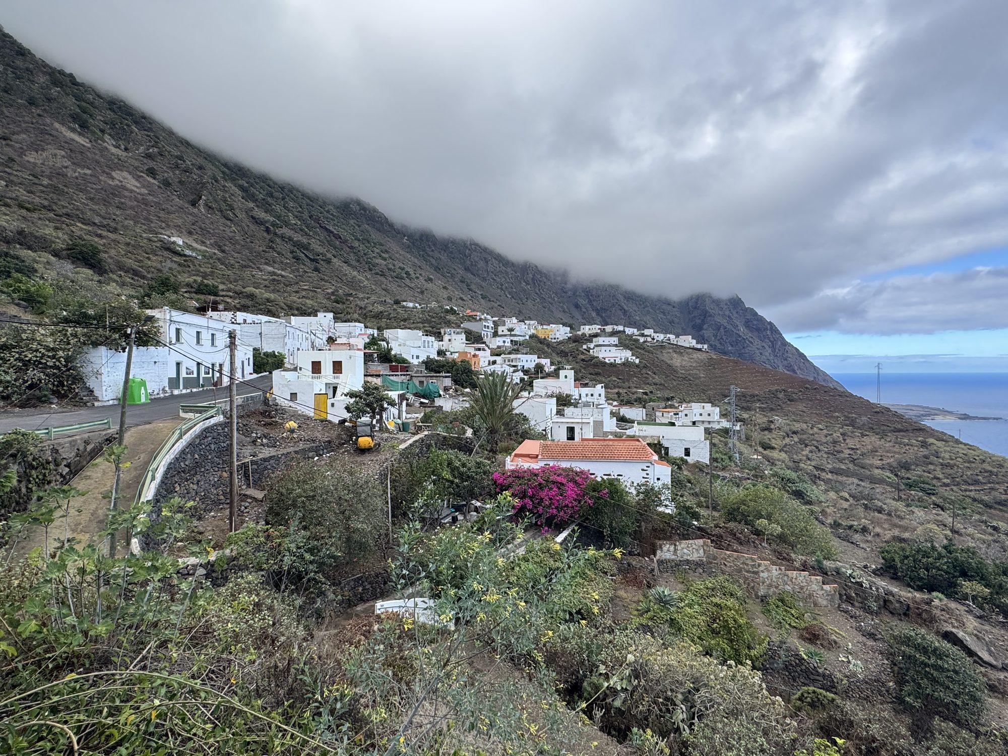
A village beneath the cliff
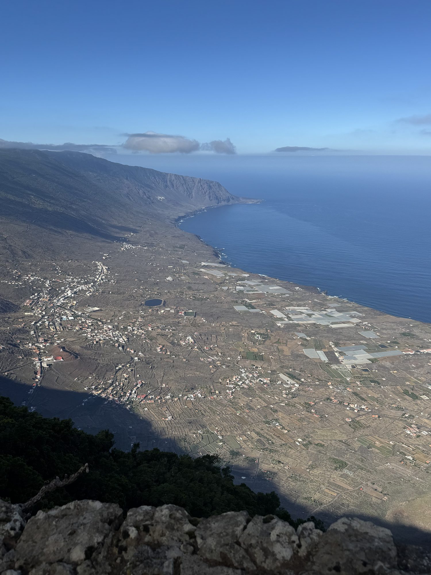
Villages like this one shelter at the foot of El Hierro’s great cliffs in the Golfo valley, a vast natural amphitheatre carved out when half the island collapsed into the sea roughly 130,000 years ago. What was once a scar left by catastrophe is now some of the most fertile land on the island, terraced with banana and vine.
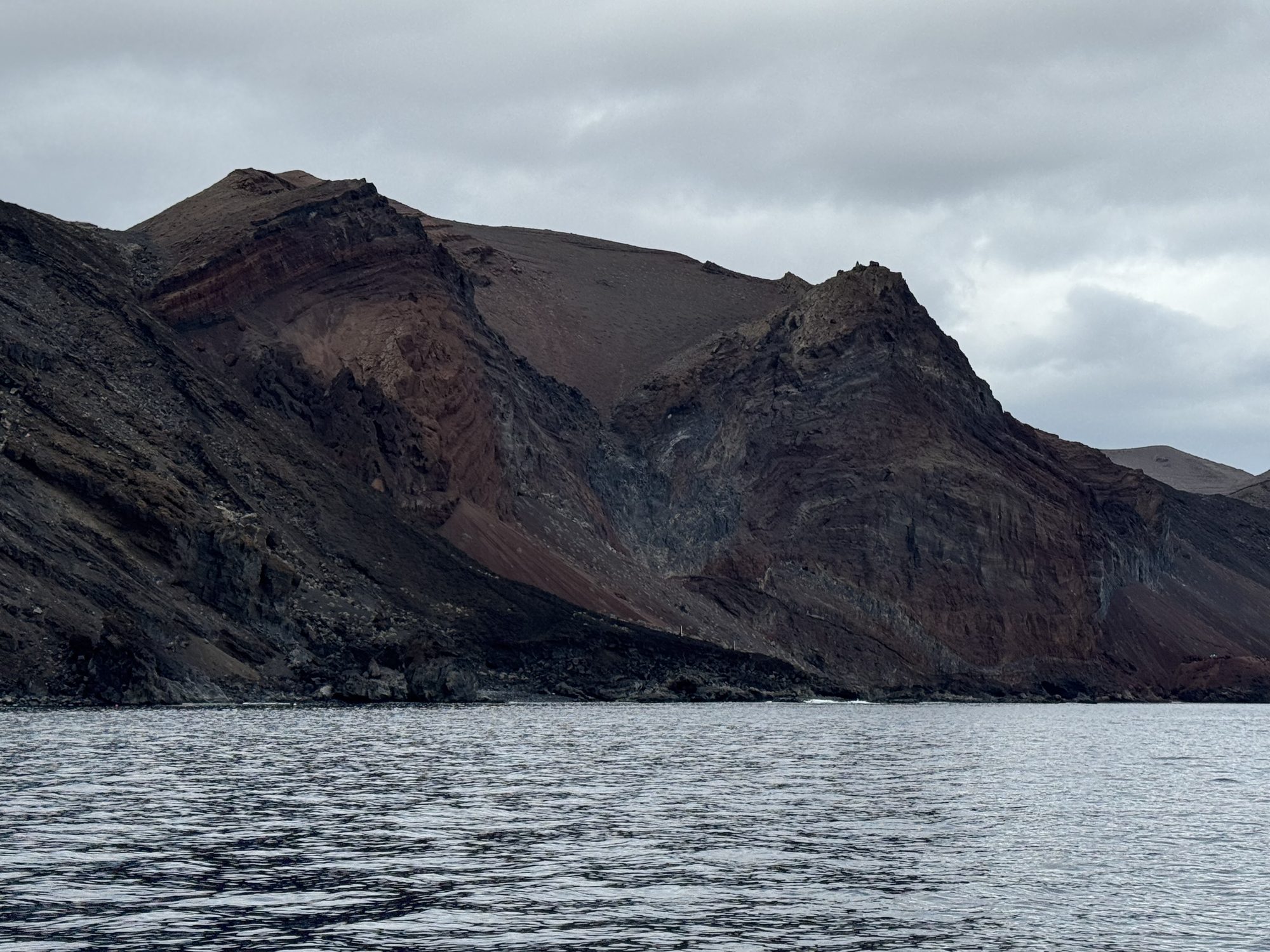
Red cliffs meet the Atlantic
Seen from the water, El Hierro’s coast reads like a cross-section of its own history: layer after layer of lava in black, ochre, and rust, each one a separate eruption stacked over millennia. The only way to see it this way is by boat, which is how most visitors first understand that the whole island is, essentially, a volcano still standing above the waterline.
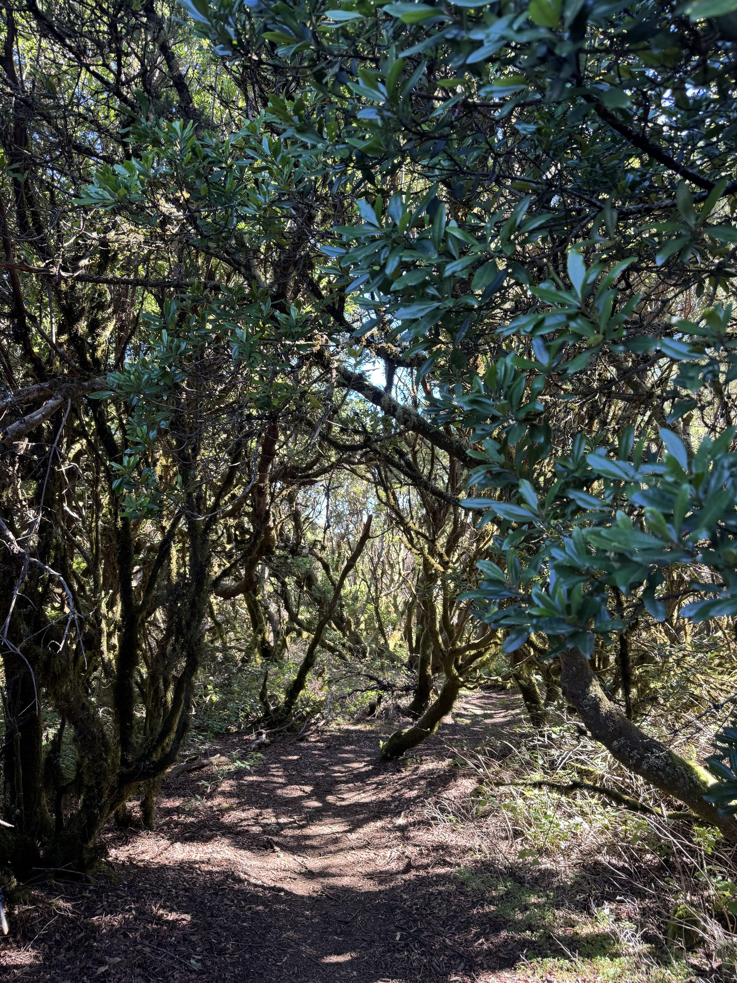
An ancient forest holds on
In the island’s damp north, laurel forest survives much as it did before the last Ice Age, kept alive by the trade winds that comb clouds through the treetops. Protected today within the Mencáfete Nature Reserve, it is a relic of the subtropical forest that once covered much of southern Europe, and one of the last places in the Canaries where you can still walk through it.
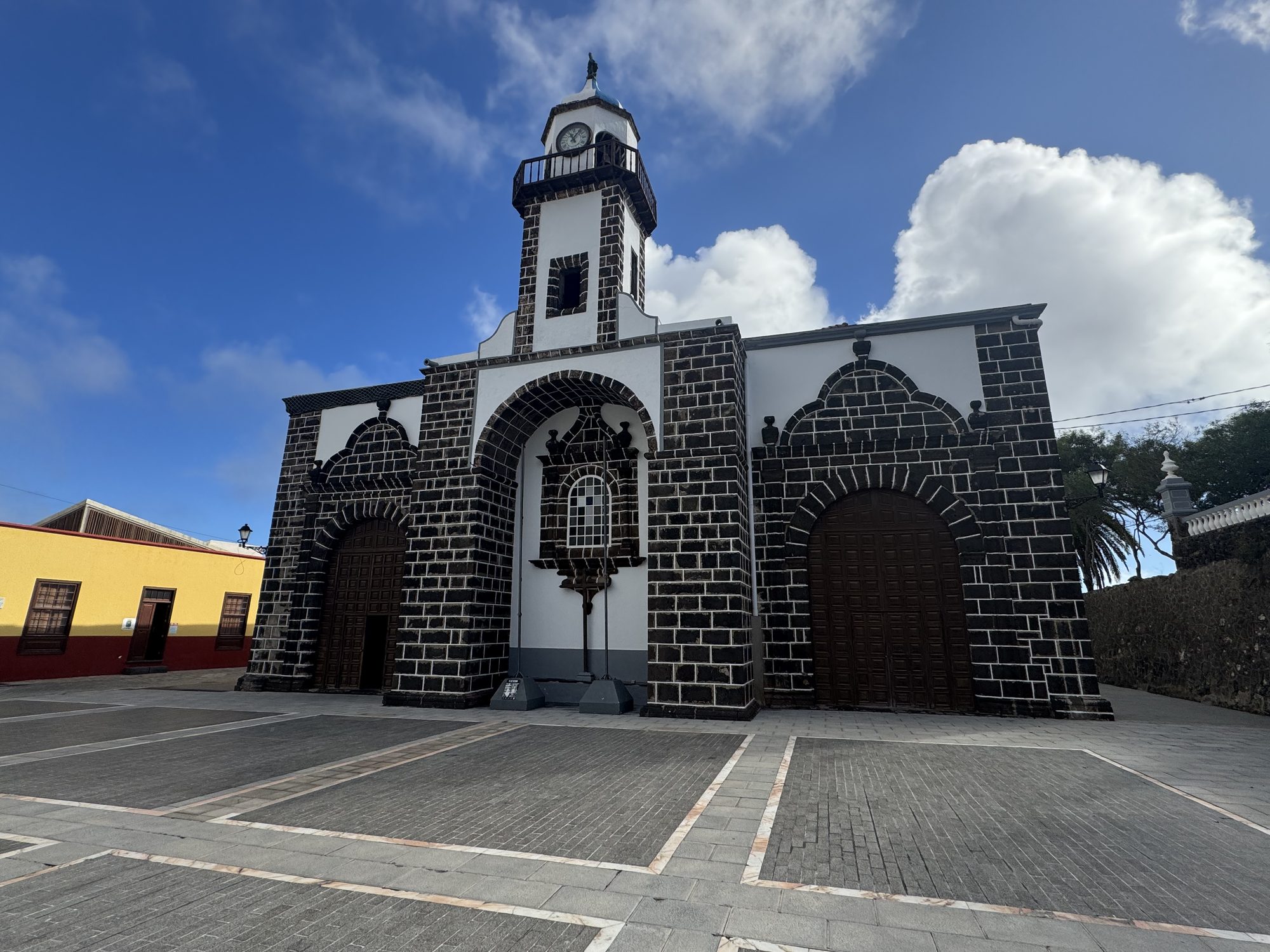
Faith built from volcanic stone
Valverde, El Hierro’s capital, is the only Canary Island capital not built on the coast, set inland instead for protection from pirate raids. Its church, built from the island’s dark volcanic stone and trimmed in white, stands as a reminder that everything here, sacred or otherwise, was eventually built from the same lava underfoot.
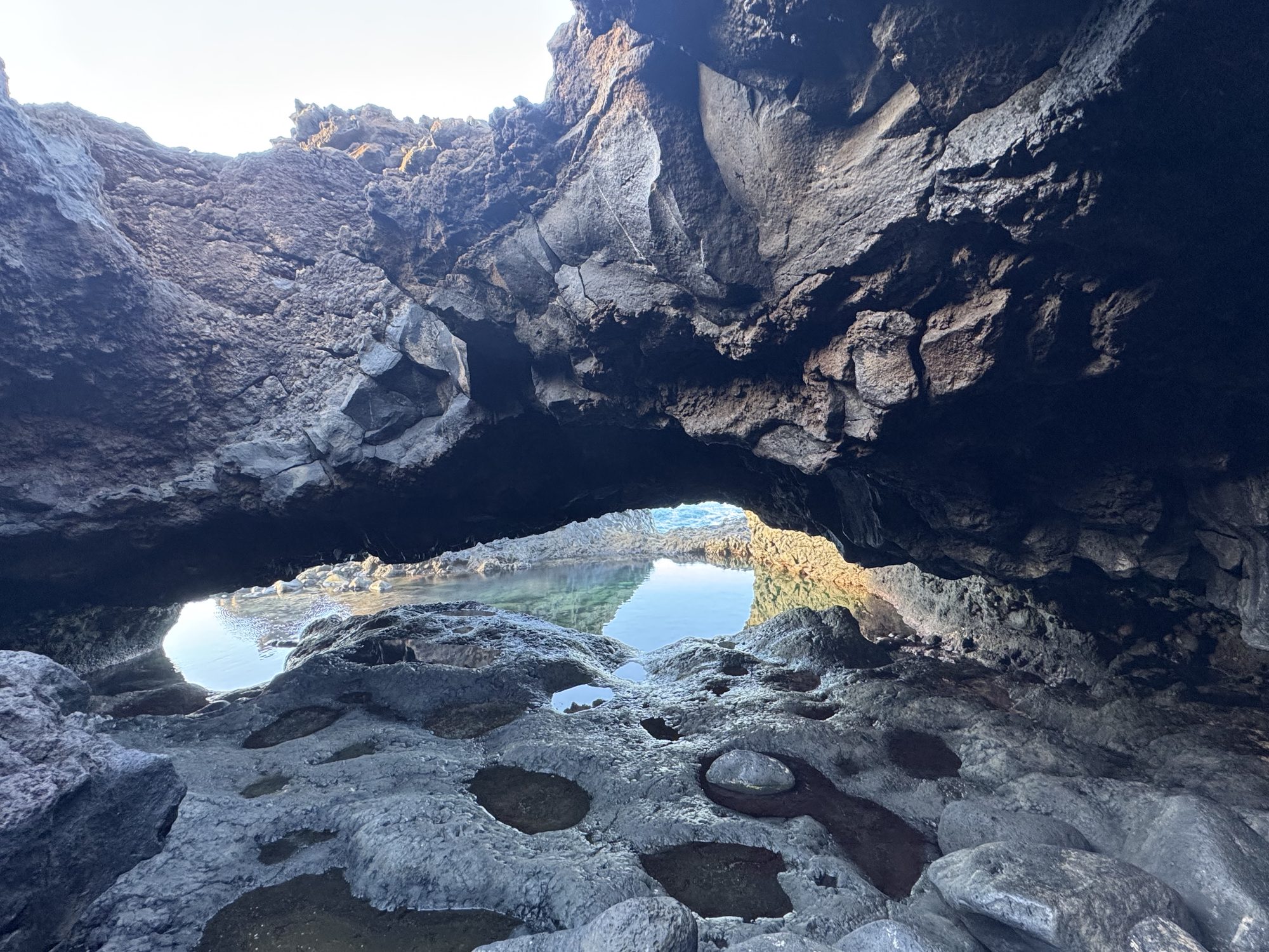
Where the ocean becomes a pool
El Hierro has no sandy beaches to speak of, so the island improvised: charcos, natural pools enclosed by hardened lava, fill and empty with the tide along the coastline. Locals swim in them the way other islands swim in the sea itself, a small daily adaptation to a coast that never offered the easy version.
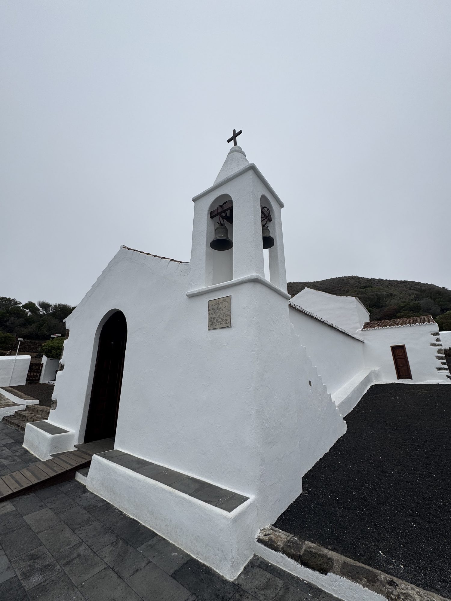
The sanctuary of Los Reyes
This is the Santuario de Nuestra Señora de los Reyes, hidden in the remote northwest of the island near Sabinosa. Long before the Marian image now honoured here became El Hierro’s patroness, the site already held deep spiritual meaning for the Bimbaches, the island’s aboriginal inhabitants, who are said to have revered this place before it was ever Christianised. Every four years it becomes the starting point of the Bajada de la Virgen de los Reyes, when the patroness is carried down to Valverde.
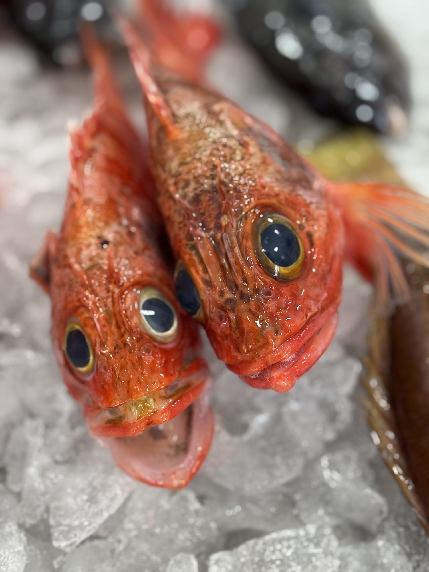
The catch of La Restinga
La Restinga, the small fishing village at El Hierro’s southern tip, sits beside the Mar de las Calmas, a marine reserve calm enough to have become one of Europe’s best diving sites. Gisella Horn, who runs a dive centre here, sees the same water from two angles: as habitat to protect and as a source of the cabrilla and other fish still landed daily by boats no bigger than the ones their grandfathers used.
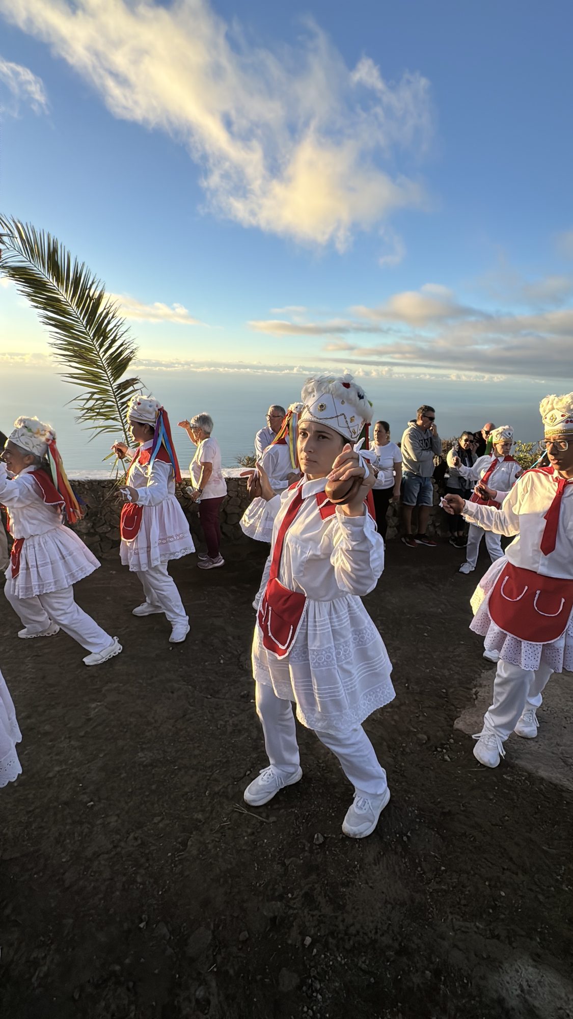
Tradition keeps the rhythm
Every October, the Fiesta de la Virgen de la Peña brings out the dancers of the island’s north in traditional dress, as here on 19 October 2025. Groups of dancers like these also accompany the island’s patroness every four years in the Bajada de la Virgen de los Reyes, from her sanctuary at Los Reyes down to Valverde, a tradition old enough that most islanders have only ever seen it a handful of times in their lives.
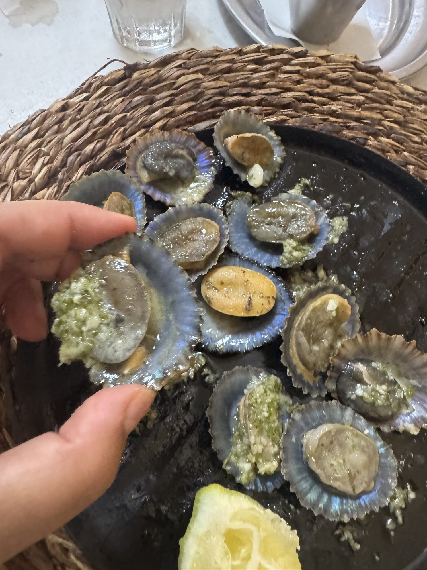
“There is no such thing as free sustainability, or sustainability for show.”
Marcos Tavío, chef, 8 Aborigen
Read the full report: El Hierro: A regeneration lab, or a utopian experiment?
Photographs by the author, El Hierro, October 2025.


